Torres del Paine
Glaciers and towering granite horns

Glaciers and towering granite horns
Coquimbo, Chile
Torres del Paine National Park is part of the Sistema Nacional de Áreas Silvestres Protegidas del Estado de Chile (National System of Protected Forested Areas of Chile). In 2013, it measured approximately 181,414 hectares. It is one of the largest and most visited parks in Chile. The park averages around 252,000 visitors a year, of which 54% are foreign tourists, who come from many countries all over the world. It is also part of the End of the World Route, a tourist scenic route.

The destination and the expedition
The park is one of the 11 protected areas of the Magallanes Region and Chilean Antarctica (together with four national parks, three national reserves, and three national monuments). Together, the protected forested areas comprise about 51% of the land of the region.
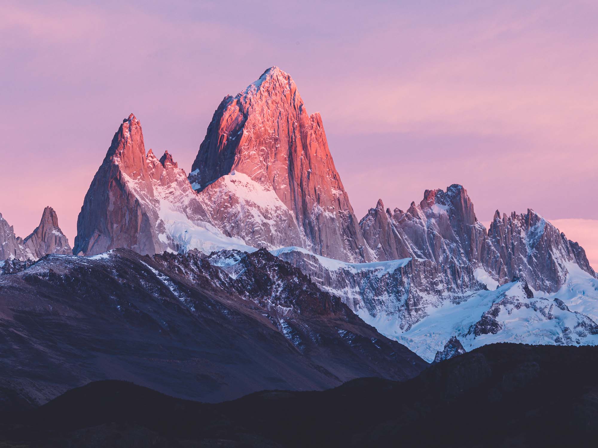
The Torres del Paine are the distinctive three granite peaks of the Paine mountain range or Paine Massif. From left to right they are known as Torres d’Agostini, Torres Central and Torres Monzino. They extend up to 2,500 meters above sea level, and are joined by the Cuernos del Paine. The area also boasts valleys, rivers such as the Paine, lakes, and glaciers. The well-known lakes include Grey Lake, Lake Pehoé, Nordenskjöld Lake, and Sarmiento Lake. The glaciers, including Grey Glacier, Pingo and Tyndall Glacier (Chile), belong to the Southern Patagonia Ice Field.
Lady Florence Dixie, in her book published in 1880, gave one of the first descriptions of the area and referred to the three towers as Cleopatra’s Needles. She and her party are sometimes credited as being the first “foreign tourists” to visit the area that is now called Torres del Paine National Park.
Several European scientists and explorers visited the area in the following decades, including Otto Nordenskiöld, Carl Skottsberg, and Alberto María de Agostini. Gunther Plüschow was the first person to fly over the Paine massif.
The park was established on 13 May 1959 as Parque Nacional de Turismo Lago Grey (Grey Lake National Tourism Park) and was given its present name in 1970.
In 1976, British mountaineer John Garner and two Torres del Paine rangers, Pepe Alarcon and Oscar Guineo, pioneered the Circuit trail which circles the Paine massif.
In 1977, Guido Monzino donated 12,000 hectares to the Chilean Government when its definitive limits were established. The park was designated a World Biosphere Reserve by UNESCO in 1978.
According to the Köppen climate classification, the park lies in the “temperate climate of cold rain without a dry season.” The meteorological conditions of the park are variable due to the complex orography. The park is famous for strong winds. The windiest months are November - January, which coincides with the peak tourism season.
The zone is characterized by cool summers, with temperatures lower than 16°C during the warmest month (January). Winter is relatively cold, with an average high temperature in July of 5°C, and an average low of -3°C.
The rainiest months are March and April, with a monthly average rainfall of 80 mm. This represents double the July–October (winter) rainfall, which are the drier months. A study of the exact chemical components of the precipitation in the park has been carried out.
The landscape of the park is dominated by the Paine massif, which is an eastern spur of the Andes located on the east side of the Grey Glacier, rising dramatically above the Patagonian steppe. Small valleys separate the spectacular granite spires and mountains of the massif. These are: Valle del Francés (French Valley), Valle Bader, Valle Ascencio, and Valle del Silencio (Silence Valley).
The head of French Valley is a cirque formed by tall cliffs. The colossal walls of Cerro Cota 2000 and Cerro Catedral punctuate the western region of the Valley. Cerro Cota 2000 is named for its elevation; its highest contour line is about 2000 m. Cerro Catedral is named so because its east face resembles a cathedral’s facade. To the north stands the granite arête called Aleta de Tiburón (English language|English: Shark’s Fin). To the east, from north to south, lie the peaks Fortaleza (Fortress), La Espada (The Sword), La Hoja (The Blade), La Máscara (The Mummer), Cuerno Norte (North Horn), and Cuerno Principal (Main Horn).
In the Valley of Silence the gigantic granite walls of Cerro Fortaleza and Cerro Escudo (Shield Mountain) stand face to face with the western faces of the Torres del Paine. Ascencio Valley is the normal route to reach the Torres del Paine lookout, which is located at the bank of a milky green tarn (lake)|tarn. The highest mountain of the group is Cordillera del Paine|Paine Grande, whose height was measured in 2011 using GPS and found to be 2884 m.
for the coming year
 from $1949
 from $1839
 from $1799
 from $1449